
Grain Valley Storm Records
Explore NOAA storm reports associated with Grain Valley, keeping county or zone records separate from municipal point reports and individual roof damage.
Free roof inspections · Repair and replacement options
Grain Valley Storm Records explained
These NOAA records provide context for a roofing concern, with the source location and reporting scope kept visible. The associated reports shown here run from 1952-05-22 through 2026-07-09, within the available 1950�2026 dataset. The retained snapshot is October 27, 2026, and current-year reporting is partial.
County, forecast-zone and nearby point reports are different geographic evidence. A report can help explain the weather context, but it does not establish that a particular Grain Valley roof was struck or that insurance will cover its repair.
- Reporting period
The displayed associated reports begin in 1952. The dataset covers 1950�2026; the October 27, 2026 snapshot has partial current-year reporting.
- Geographic scope
County, zone and point reports remain distinct from property damage.
Browse the reported events
Use a year or event type to narrow the records. Open a report for its source geography and details.
1819 associated reports in the retained collection, 1952-05-22 through 2026-07-09. Event types include hail, wind, tornadoes and other weather hazards. These are reports, not a count of storms striking Grain Valley.
Showing the first 12 of 1819 reports.
2026-07-09 · Thunderstorm Wind · JACKSON
County context · BLUE SPGS. The report location is not proof of damage at a property.
Reported magnitude: 52 knots (estimated gust); source magnitude type EG.
Downed wires near 14th Terrace in Blue Springs.
2026-07-09 · Thunderstorm Wind · JACKSON
County context · HICKMAN MILLS. The report location is not proof of damage at a property.
Reported magnitude: 52 knots (estimated gust); source magnitude type EG.
Downed wires near 112th Terrace.
2026-07-09 · Thunderstorm Wind · JACKSON
County context · DODSON. The report location is not proof of damage at a property.
Reported magnitude: 52 knots (estimated gust); source magnitude type EG.
Downed wires near Baltimore Avenue.
2026-07-09 · Thunderstorm Wind · JACKSON
County context · RAYTOWN. The report location is not proof of damage at a property.
Reported magnitude: 52 knots (estimated gust); source magnitude type EG.
Downed tree limbs and wires near Blue Ridge Cutoff in Raytown.
2026-07-09 · Thunderstorm Wind · JACKSON
County context · KANSAS CITY. The report location is not proof of damage at a property.
Reported magnitude: 52 knots (estimated gust); source magnitude type EG.
Downed tree limbs and wires near Highland Avenue.
2026-07-09 · Thunderstorm Wind · JACKSON
County context · HOLMES PARK. The report location is not proof of damage at a property.
Reported magnitude: 52 knots (estimated gust); source magnitude type EG.
Downed wires near Walnut Street.
2026-07-09 · Thunderstorm Wind · JACKSON
County context · HOLMES PARK. The report location is not proof of damage at a property.
Reported magnitude: 52 knots (estimated gust); source magnitude type EG.
Downed tree near the intersection of 89th Street and Ward Parkway.
2026-07-09 · Thunderstorm Wind · JACKSON
County context · KANSAS CITY HEART AR. The report location is not proof of damage at a property.
Reported magnitude: 52 knots (estimated gust); source magnitude type EG.
Downed wires near 29th Street.
2026-07-09 · Thunderstorm Wind · JACKSON
County context · DODSON. The report location is not proof of damage at a property.
Reported magnitude: 52 knots (estimated gust); source magnitude type EG.
Seven (7) power poles downed between Cherry Street and Holmes Road.
2026-07-09 · Thunderstorm Wind · JACKSON
County context · DODSON. The report location is not proof of damage at a property.
Reported magnitude: 52 knots (estimated gust); source magnitude type EG.
NWS Employee reported multiple 8 inch diameter tree limbs downed in Brookside neighborhood.
2026-07-09 · Thunderstorm Wind · JACKSON
County context · DODSON. The report location is not proof of damage at a property.
Reported magnitude: 52 knots (estimated gust); source magnitude type EG.
Downed trees and wires near Rockhill Park.
2026-07-09 · Thunderstorm Wind · JACKSON
County context · DODSON. The report location is not proof of damage at a property.
Reported magnitude: 52 knots (estimated gust); source magnitude type EG.
Social media report of large tree fallen on home in Waldo.
Use storm records with the roof condition
- A reported event
The event date and recorded location describe the report. County or zone coverage is broader than a municipal point.
- A roof inspection
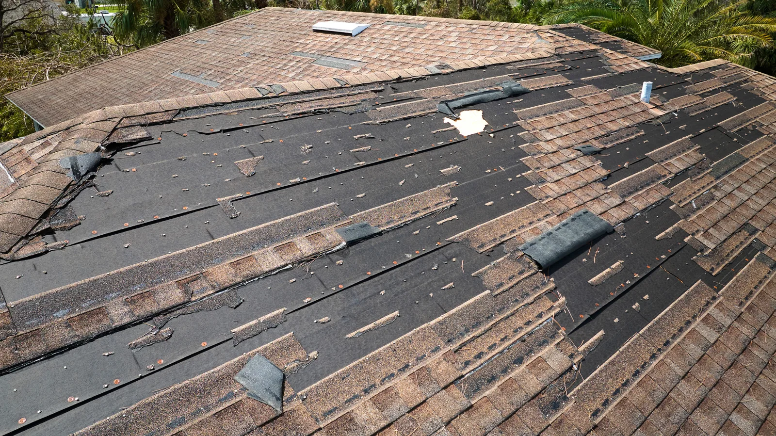
The inspection checks current damage and roof condition. The roof history and event information help with cause; a report alone does not diagnose the roof.
- A repair decision
Repairability depends on affected material, sound connections and underlying layers. Coverage is determined under the policy.

Talk about your storm concern in Grain Valley
Tell us where the property is and what you've noticed. Call (816) 355-5912 or request a free inspection so we can look at the roof and explain the work.